Hiking the Pacific Crest Trail has become an exercise in flexibility. After my first two section hikes in 2014, none of the other sections I've done since has ever ended the way I thought it would. This section continues that pattern.
When I discovered my friend Becky had plans to backpack a section of the PCT this summer, I asked to come along. The trip was organized by another mutual friend, Cathy, whom I used to work with who happily extended the invitation to me as well. Cathy retired last year and has become a Pacific Crest Trail afficionado, completing a section in California, and several in Washington the past year. She researched the section she wanted to do and her plan was go to from Chinook Pass to Snoqualmie Pass, section I.
Cathy had planned the section meticulously, preparing a spreadsheet with notes about mile markers and distances, using comments and notes from the app FarOut, which I also use. I am usually the one who plans my backpacking trips and it was nice to have someone else do the planning and research. She discovered that Mt. Baker Snoqualmie National Forest recently instituted a mandatory bear can policy and bought a small bear vault for herself. I already have a large and small bear canister and so I loaned my large canister to Becky so she would not have to purchase one.
Cathy's husband, Randy, had agreed to drive us all up to Chinook Pass and to meet us at various spots along the way to resupply us. What a deal! I've usually had to coordinate dropping cars off at the end and beginning of sections and to have a trail angel willing to drop us off, resupply us and pick us up was amazing. Because of a family reunion obligation I would not be able to hike the ten days that Cathy and Becky wanted to do but Randy said he would pick me up at one of the resupply points and take me home in time for the reunion. The goal was to hike as far as possible in the time allotted.
On Sunday, July 9, Randy picked us all up and drove us to Chinook Pass, about a four hour trip from Whidbey Island. We arrived to a packed parking lot, the area swarming with tourists. We shouldered our packs and Randy got a picture of us at the trailhead and then we started north on the Pacific Crest Trail. It was a warm, sunny day and the tourists quickly thinned out as we began the ascent towards Sheep Lake and Sourdough Gap.
We slowly made our way up from our beginning elevation of 5492 at Chinook Pass to Sheep Lake at 4755 where we stopped to filter water. Towering above Sheep Lake was the mountain we would climb to cross over at Sourdough Gap. I filtered several liters of water but not wanting to have a heavy pack for the upcoming climb ahead, unbeknownst at the time, I left myself about a liter short of what I would truly need. I was off on the mileage I would need to do until the next water source as well. Plus it was a dry camp the first night.
We continued our climb, marveling at the views along the way.
Below us is Sheep Lake. We trudged upward until we finally got to Sourdough Gap at 6733 feet and we began to descend down the other side.
The view down the valley towards Placer Lake and Morse Creek was amazing. It was close to 6pm by now and I was worried about finding a level place for all three of us to set up our tents, but eventually we found a spot at 6100 elevation right off the trail and we stopped for the night. I rehydrated a freeze dried package of white bean soup I purchased from REI. Sadly, it was horrible. The thyme overwhelmed everything and I had to force myself to choke it down. We kept hearing a drumming sound and Cathy told us it was a thrush. We tucked our bear cans down below us against a log and retired for the night.
The next morning I woke up early and got my bear can so I could eat a breakfast bar and make a cup of coffee.
Becky and Cathy joined me and we looked down the valley ahead. We packed up and headed north.
Looking back at where we camped for the night at the top of that rocky outcrop.
Cathy is a slow hiker. It was odd for me to have to stop and wait for her because I am always the slowest hiker in the group. She also stops frequently to take pictures. We had all discussed "hiking our own hike" and after traveling only a mile in an hour, Becky and I decided to hike ahead to the next water source before waiting for Cathy again. I was down to about a half liter and we had 5 more miles to go for water through a burn area with no shade as the day got increasingly warm. We sent word back down the trail to Cathy via a southbound hiker of our plan and continued up the trail.
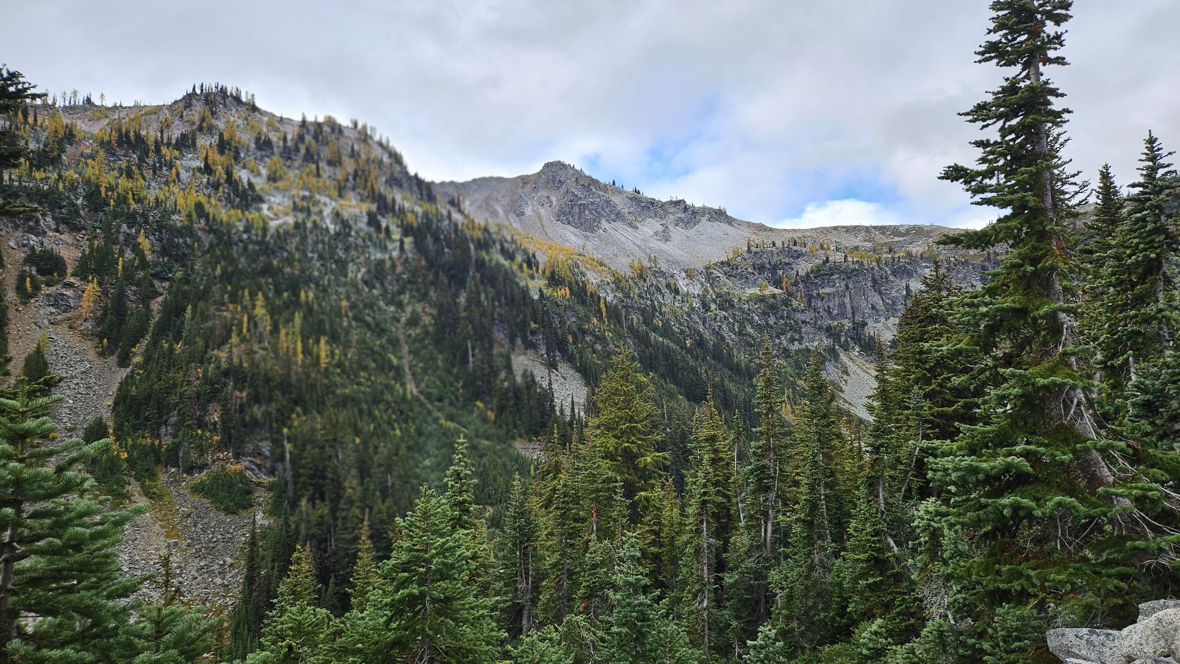
The views were beautiful and we enjoyed the undulating terrain.
We walked a ridgeline for a bit as we went up Pickhandle Gap. I always love walking a ridgeline because of the views on both sides.
We ascended up to Crown Point, (elev. 6309 ft) where we stopped for awhile to enjoy the views of Mount Rainier and I took off my shoes and aired my feet out.
Looking back at where we came from. You can see the Pacific Crest Trail in the center.
We still had about three and a half miles through a burn area before we could get water and I was starting to feel my lack of water as my energy lagged. We continued on our way and hit the burned area. The sun beat on us and there was no shade along this section. Eventually we reached the water source. It was about 15 feet down from the trail and we filtered water and I guzzled a bunch! So cold and delicious! We sat and waited for Cathy and eventually I did some laundry while we waited.
After several hours Cathy arrived. Her hip had been really hurting her and she was in a lot of pain. She did not feel able to come down the hill to the water so we climbed up to the trail again and we continued on about a quarter mile where we came to a shady camping area with close water. There were plenty of camping spots so we set up our tents, got more water and had some dinner. Cathy did not think she would be able to continue with the pain she had been feeling so she contacted her husband and we made plans to hike to the Mike Ulrich cabin which was the first place we could get off trail that he could meet us at.
Several through hikers rolled in that evening and I off loaded some of my extra food to them since I was now carrying more days than I would need since we were getting off trail. They were happy to have extra to eat and I was happy to not have to carry extra weight. Win, win!
I enjoyed an early morning cup of coffee. We were lucky to have come to a non-burned area to camp in for the night. But for most of the day we hiked through a gray dead burn area. We decided to all hike together for the rest of the hike since Cathy was in pain and occasionally needed some help on some of the slanty sections of the trail and also getting over blow downs.
Becky ahead on the trail. We re-entered the Norse Peak Burn from 2017. New grass and plants have grown back but it will be years before this is again a green shady area.
Raven's Roost in the distance. I have so many memories of this area from living in the Nile Valley. My husband hiked this area on multiple Survival Hikes when we worked at the Flying H Youth Ranch.
Cathy straddles the log of one of multiple blowdowns in this section.
It is so odd how there are islands of green in the midst of the gray burn. We did not want to camp amongst the dead trees so we hiked to the Louisiana Saddle just out of the burn zone. We set up our tents for the night and made plans to hike out to the Mike Ulrich cabin the following morning. It had been a 9 mile day.
We got up early and headed for our meeting with Randy at the Mike Ulrich cabin.
It was nice to be back into green again, but there were still several blowdowns that were challenging to cross with Cathy's sore hip.
And here are some more blow downs. As a short person, these can be challenging for me, too.
Getting closer!
Abundant water at Government Meadow. Beautiful!
Mike Ulrich Cabin ahead!
We took a quick look around the Mike Ulrich Cabin but I tried not to touch anything. There had been reports of norovirus infecting the cabin and I did not want to get sick. Later, a health official went in and swabbed multiple places in the cabin and discovered every place he swabbed was contaminated with fecal matter. Gross! No wonder so many people got sick after staying there. Washing/disinfecting your hands can be challenging when backpacking, but it is important to try to try.
While we waited for Randy to arrive we laid on the grass and gazed at the sky. Bliss! I do not remember the last time I laid on the ground and just looked at the clouds.
Eventually Randy arrived and we hiked down the trail to where he'd parked the car. We stopped for lunch in Enumclaw at the Naches Tavern, enjoying a post-hike celebratory hamburger and fries before driving the rest of the way home. This was a shorter trip than planned, but I still enjoyed it.