Unlike previous years, this summer has been a quiet one at home. My dog, Sadie, has slowed down a lot this past year and has a hard time going beyond about a 2 mile hike. She also needs to be let outside more frequently, which means that I've needed to stay home to take care of her more, or potentially suffer the consequences by cleaning up a big mess.
However, I decided to risk a one day trip to Yakima to pick up some venison and steelhead a friend had offered me because she wanted to get her freezer cleaned out. I plotted a course over Chinook Pass and stopped at the top to hike the Naches Loop Trail. Unfortunately, it was a rainy day and so the mountain views were not stellar, but the wildflowers were out in all their glory and I was simply grateful to have the chance to do this hike. The lack of views just gives me a good excuse to come back and do the hike again!
I parked in the parking lot by Lake Tipsoo, pulled on my rain coat and settled my backpack on my shoulders.
The trail wandered past Tipsoo Lake and then crossed Hwy 410 where it began to climb steeply. The trail showed recent signs of work with good ditching.
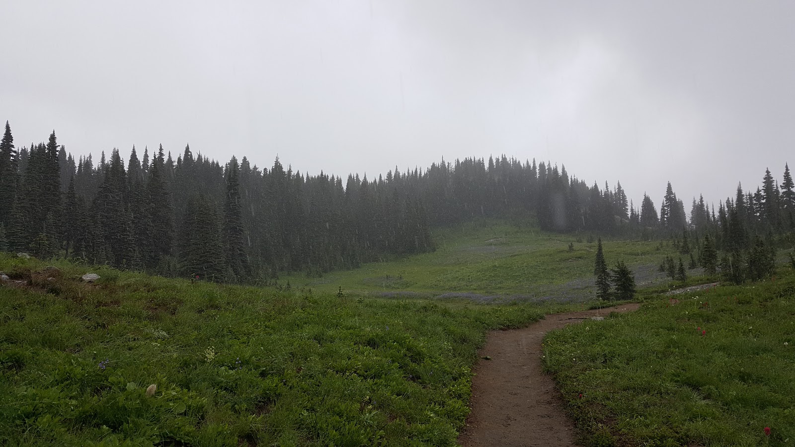
Wildflowers of lupine and Indian Paintbrush lined the pathway and I attempted to take in their beauty while simultaneously watching my footing.
The trail connected with the Pacific Crest Trail that goes down to Dewey Lake. Three years ago I climbed up from the PCT/Dewey Lake in a driving rain shower punctuated by occasional snow. I was happy to skip the snow this time, but it did seem sad that I was once again hiking it in the rain. This time I enjoyed it much more with proper rain gear.
Once I was on the eastern side of the loop the clouds broke a bit and I could see some of the mountains.
Eventually the trail crossed over Hwy 410 again and I took the spur back to Lake Tipsoo. This was about a 3.2 mile 600 foot elevation gain hike.