Lately my thoughts have wandered to hikes I want to do in 2016. I have come up with a new goal for myself to help motivate me to get back in to shape. I want to hike at least 52,000 feet in elevation this next year. I figure that will be around 1,000 feet each week. It may not sound like much but since I live on an island where the highest point is only 484 feet, it may be a bit of a challenge.
One of the first things I needed to do was to discover a way to find out the elevation of my hikes. I downloaded two different apps onto my phone that should help me with this. One is called Accurate Altimeter. It is free but there is a $1.49 charge if you want to calibrate the pressure sensor. I have not yet made that upgrade but probably will. The other app is called Elevation Profile. It has some interesting features that I not quite figured out completely. I think these two apps have the potential to give me the information I want, once I've figured out how to use them.
After downloading the two apps I was eager to get out the door to try them out. I chose to go to Deception Pass State Park and hike to Goose Rock, the highest point on Whidbey Island at 484 feet. I parked at Cranberry Lake and took the 1.5 mile route up to Goose Rock.
 |
| Deception Pass Bridge ahead |
The trail was in pretty good shape with only one blow down that I had to crawl under. There were a few places where water was running down the trail but I managed to keep my boots dry.
 |
| One blow down to duck under |
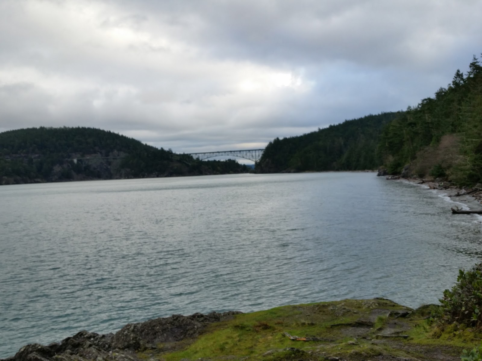
It was a cloudy day but not raining. I started hiking around 9:30am and didn't encounter any other hikers until I got to Deception Pass Bridge.
 |
| Almost to the Bridge. North Beach down below. |
 |
| The west view of the Strait of Juan De Fuca |
 |
| Beneath Deception Pass Bridge |

The views on the way down were also stellar in many places. My estimation for the hike was 580 feet total elevation gain.
No comments:
Post a Comment